
Tech
How Satellites Are Helping Us Fight Pollution, One Data Point at a Time
Many call space the “final frontier”, but fail to mention one key detail: space is massive. After all, there’s a reason it’s called the “observable universe.” In practice, the universe is infinite, and humanity finds new frontiers to explore daily. Some people believe space shouldn’t be the focus, but Earth itself.
Due to decades of unmitigated pollution, Earth has undergone severe changes in its climate. With the weather becoming more extreme by the year, it’s easy to see why some people would rather scientists focus on the home than the cosmic lawn. If anything, space gives humanity the best look at what it has done to the planet.
A History of Satellites and Smog
Before diving into the intersection of space and environmental science, it’s important to have an overview of how people tracked pollution.
As early as the 1800s, scientists and public servants observed the effects of pollution with what their eyes could see. Many early settlements were built around rivers, and the clarity of the water often served as a rough gauge of a town’s pollution levels. While crude, it did give an idea of how human activity can impact local ecosystems.
Of course, this evolved into observing the local weather, air quality, and even the abundance of local fauna and wildlife. Eventually, these efforts led to the formation of specialized government departments for water supply and weather monitoring. Most of these institutions were limited to local effects, as many didn’t even consider gathering global data.
It wasn’t until 1938 that scientists realized weather stations could also be used to calculate global temperatures. Guy Callendar, an English inventor who dabbled in climatology, reached out to 147 weather stations to confirm Swedish scientist Svante Arrhenius’s theory on carbon emissions affecting global temperatures. Callendar finally found proof of the theory thanks to the patterns found in the unprecedented dataset.
Thanks to the work of these two scientists, modern climate science started to take root on the world stage. By 1958, Dr. Charles Keeling refined the means for measuring the carbon dioxide in the atmosphere. Nine years later, researchers Syukuro Manabe and Richard Wetherald created the very first computer model of the Earth in its “current” climate, showing inhabitants just how bad it was going to get.
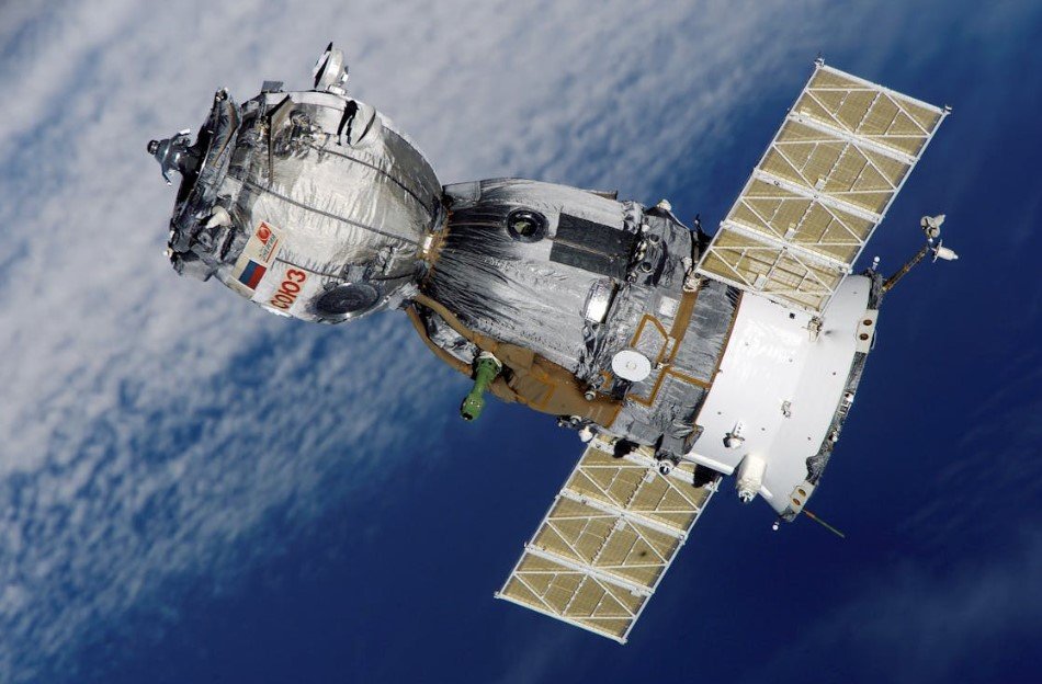
The same year Neil Armstrong first set foot on the moon, NASA also launched the Nimbus III. With this satellite, scientists finally had an accurate way of recording temperatures globally. Now there are hundreds of satellites in Earth’s atmosphere, and many of them contribute to the struggle against climate change.
What Can Satellites Track?
With sustainability at the forefront of many businesses’ goals, having access to the right data is more important than ever. Still, vast amounts of data aren’t simple reads. Stakeholders need to understand which data points matter and how they connect to their operations.
Deforestation
Satellites can monitor the extent of deforestation anywhere on the planet. It’s not as if huge swathes of missing trees will go unnoticed from that high up, after all. More importantly, the sheer scale of the satellite images gives data analysts key insights into which areas are most affected.
Businesses in Brazil that rely on lumber, for example, may need to consider their impact on their local terrain. Even if local is theoretically cheaper, satellite data could reveal that those lumber sources are long overdue for reforestation efforts.
Global Temperatures
Satellites can utilize thermal sensors to account for drastic changes and other “hot spots” in global temperatures. These data points serve as a foundation for monitoring temperature trends and tracking industrial emissions on a large scale. Many corporations, whether through ignorance or mismanagement, don’t realize they are part of these emitters until it’s too late.
NASA’s MODIS (Moderate Resolution Imaging Spectroradiometer) tracks anomalies in worldwide temperatures, especially useful for heat spots such as Los Angeles. Accurate data for these concrete jungles should help justify any plans for sustainability.
Emissions regulators and carbon traders, in particular, should be paying close attention to insights derived from satellites, whether to enforce compliance or identify trading opportunities. At the very least, this data serves as a stark reminder of just how much hotter the planet has become.
Melting Ice Sheets
It’s not just the actual temperature that satellites can monitor. Among the most impacted biomes by climate change are the polar ice caps. These giant icebergs have gotten significantly less gigantic throughout the decades. As that ice melts, the sea levels rise exponentially.
NASA’s ICESat-2 documented the worrying speed of ice loss that has led to rising sea levels. Greenland’s fishing industry may face challenges in certain sectors if unprepared, as rising sea levels mean changes in the ecosystem of polar animals. Melting ice caps also lead to erratic storm surges due to sudden shifts in temperature. That could mean more coastal disasters like typhoons and hurricanes in the future.
Rising Sea Levels
While tracking ice is important, so too is tracking ocean levels it so deeply affects. Satellites can observe these shifts in sea levels and determine how at-risk certain areas will be to flooding in the future.
Industry in low-lying regions such as the Maldives and the Philippines could see major economic changes. Agricultural businesses need this information for long-term sustainability, as floods can make or break their organizations. A single storm could wipe out an entire year’s worth of harvest if not prepared.
Aquatic Pollution
In addition to how high the sea’s getting, satellites can track the sea’s status on a massive scale. From crude oil spills to excessive algae growth, satellites can spot just how widespread potential aquatic pollutants can be. These pollutants wreak havoc on ecosystems, causing significant changes that spread fast.
Businesses that rely heavily on sea-based resources need this data. Restaurants that source a particular type of fish, for example, may discover that the reason for a sudden spike in price is due to the fish’s habitat being destroyed by unnatural pollutants.
Erratic Weather Changes
As climate change continues to transform weather patterns, satellites allow scientists to prepare people for disaster. Satellites can help weather analysts predict trends for extreme weather, such as heat waves and tsunamis. It does this by observing weather behavior and concluding if it’s similar to past instances of severe weather.
Early warning systems are crucial for everybody, and businesses should take this seriously. Being prepared can save the lives of their employees and mitigate the effects of natural disasters on the business. Every business must have contingency plans in the event of any natural disaster.
Final Thoughts
Satellites are essential for modern climate science. Without the sheer amount of data provided by these marvels of space technology, humanity would be ill-prepared for the impact of its actions. Even so, satellites shouldn’t just be used reactively.
The data should serve as a warning to organizations to pursue sustainability with passion and research. Sustainability shouldn’t be treated as some shallow PR stunt to quash negative press about the company. It’s a goal worth pursuing because it’s the ethical choice.
Many businesses pursue profit over care for their community and the environment, only to have those actions return to haunt them. It may not seem immediate, but climate change has already shifted how companies work. Only when sustainability is taken seriously will industry be on the right track.


What Exactly Happens After a Peace Bond Expiration?

What is PuzuTask Com? A Complete Guide for Beginners

How to Download APK Files Safely from ApkVEnom Org

How to Add a Signature to a PDF